|
|
Supposedly dug by the Lord of the Manor, Peter Taylor c 1776. He sought a source of water by digging an immense well downwards
from the top of Portsdown, variously stated as being from Crookhorn Copse, or from behind the site of the later Farlington
redoubt. One source says there were four such wells, the first at the copse, the fourth at the redoubt, and the others in between.
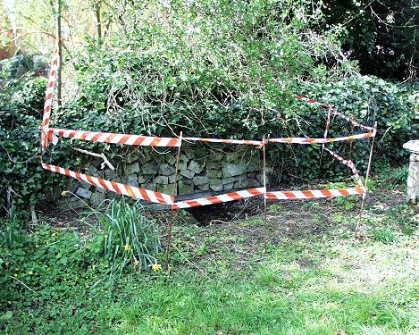
[One of these shafts was rediscovered
in 1862 - see below] The intention was then to tunnel
horizontally into Portsdown from the south, and to meet the well(s), with the hope of striking enough water to provide a piped supply for Portsmouth.
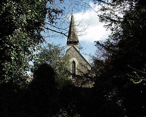
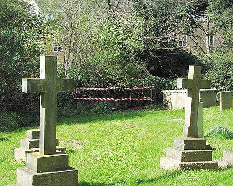
Some sources say the work didn't get very far; others that the tunnel was at least partially brick-lined, and emerged either at the back of
the [St Andrew's] church-yard, or "80 yards SW by S of the church" - which would put it somewhere near the top of St Andrew's Road - and the author
of this account claims to have actually seen it. Another story to appear in print
is one of a horse and cart sinking into some sort of hole around
where Rectory Avenue now is, which turned out to be brick lined, and was assumed to be part of the old tunnel.
|
|
| |
With the manorial rights was Thomas Smith' s Act of 1741
authorising him to provide a piped water supply to Portsmouth, and
to this purpose he invested in a tunnel dug in the side of
Portsdown Hill, supported by brickwork in anticipation of meeting
with springs, but the speculation failed.
It must have cost him a lot of money, because a report of Henry
Slight in 1850 stated that though Taylor had been led to believe
that by digging a tunnel from a point 80 yards southwest by south
from Farlington Church [St Andrew's] and carrying it through Portsdown Hill and
across Crookhorn Copse, he would tap springs. Taylor tunnelled for
seven years over one and a half miles without result. |
|
|
|
With reference to Fort Purbrook and outworks, I have to report that a
shaft has been discovered in Crookhorn Wood at the position marked B in accompanying sketch
[not available here], which is supposed to be part of a scheme which is
said to have been contemplated for supply of Portsmouth with water from this point by means of a tunnel carried through Portsdown Hill.
[i.e. The Farlington Aqueducts c. 1776]
I have caused this shaft to be explored to the depth of 79ft and the
workmen were enabled from this depth to force a wooden rod 10ft further into the loose soil and bricks with which it had been filled. The strata
is chalk of which the first 12ft is friable, the remainder portion being rock chalk. At this depth of 19ft 6in there are 2 headings driven one
about north the other south. They each extend 18ft 6in from the shaft and are 4ft high and 3ft broad.
I would propose to clear this shaft to carry the whole of the sewage
from Fort Purbrook Farlington and Crookhorn Redoubts into it as shown by the black lines on on accompanying sketch. The other proposal be
entertained, the present contractors might be called on to cut the necessary tunnels from Fort Purbrook to Crookhorn Redoubt and also from
Farlington Redoubt to the shaft.
|
|