Site Location Information
Portsdown Location
Home Page
Site Index
related pages
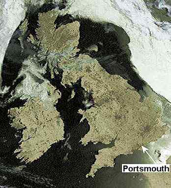
Portsmouth is located on the south coast of central southern England.
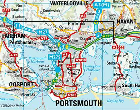
Portsdown, the area of interest, is marked by the black rectangle.
Image produced from the Ordnance Survey Get-a-map service. Image reproduced with kind permission of Ordnance Survey and Ordnance Survey of Northern Ireland.
other pages of this topic