Aerial Photographs of Portsdown

 Created 13-06-2009    Last update 15-06-2009

<

Portsdown Aerial Photos

page 3 of 4

 >


Viewpoint

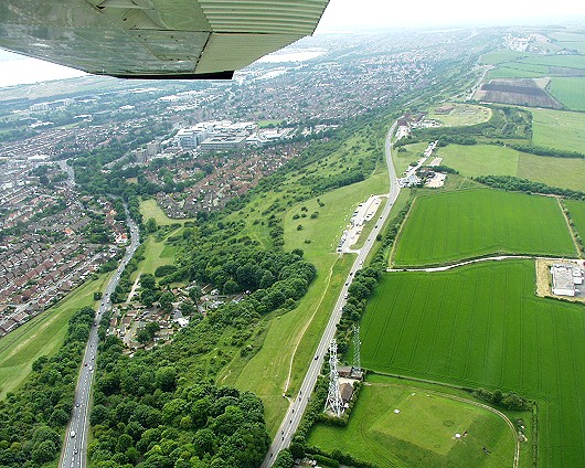
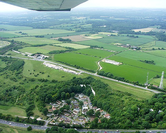
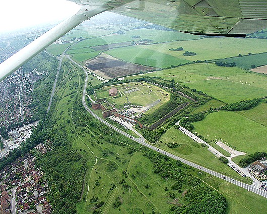
Looking west along the crest of Portsdown. In the centre running top to bottom, is the B2177 road atop of Portsdown Hill. Attached to this, centre right is the Viewpoint carpark, known locally, especially to the ladies, as the Starlight Club. On the extreme centre right is the Cold War, GPO, PR1, Repeater Station. The first Admiralty Telegraph was in the fields to the left  of  the radio aerial (bottom centre). 
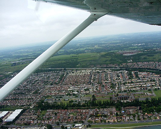
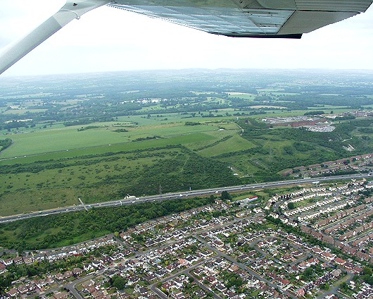
The road on the left is the A3 London Road. Just under the wing tip is the Queen Alexandra 'super' Hospital.


Cliffdale Gardens

The same view as the above photo, but now looking northwest. In the lower centre is Cliffdale Gardens, site of the London Road Deep Tunnel Shelter. The Viewpoint is left of centre and the A3 is at the bottom.


Fort Widely

Fort Widley, home of Portsmouth's Cold War Civil Defence Bunker. On the extreme bottom right is the Churchillian Pub. The south slope of Portsdown is more noticeable here, which is hardly surprising since it's 1:4. Wymering Chalk Pit, the site of the Wymering Deep Tunnel Shelters is on the left just below the wing strut. Also below the strut is a roundabout. The triangle of land in front of this is an ancient Burial Ground.


Paulsgrove Chalk Pit

Portsdown Hill runs from left to right along the centre. Paulsgrove Chalk Pit is right of centre; site of the D-Day Radio Station. Above, and to its left, is the old ASWE site. We could not fly within 1 mile of this due to high energy radar radiation. The pilot remarked that if any of us began to suffer Kidney failure then we'd flown too close. To the left is the M27 Motorway.


Paulsgrove

Western Paulsgrove (the bit where I live). Lower right is King Richard's school due for demolition and a rebuild. Dead centre are the two Fuel Bunker entrances (a tiny black dot each within a rectangle). Upper right is Fort Southwick under which is the WWII UGHQ.


Fuel Bunker entrances

Running centre, left to right, is the M27 Motorway. Above this, right of centre are the two Fuel Bunker entrances (two rectangles cut into the hill). They were built to make aerial recognition difficult, a feature which seems to have been well achieved. Fort Southwick is upper centre right.


<

Portsdown Aerial Photos

page 3 of 4

 >